






Application Cases
Deeply adapted to every scenario, answering diverse mission requirements precisely.
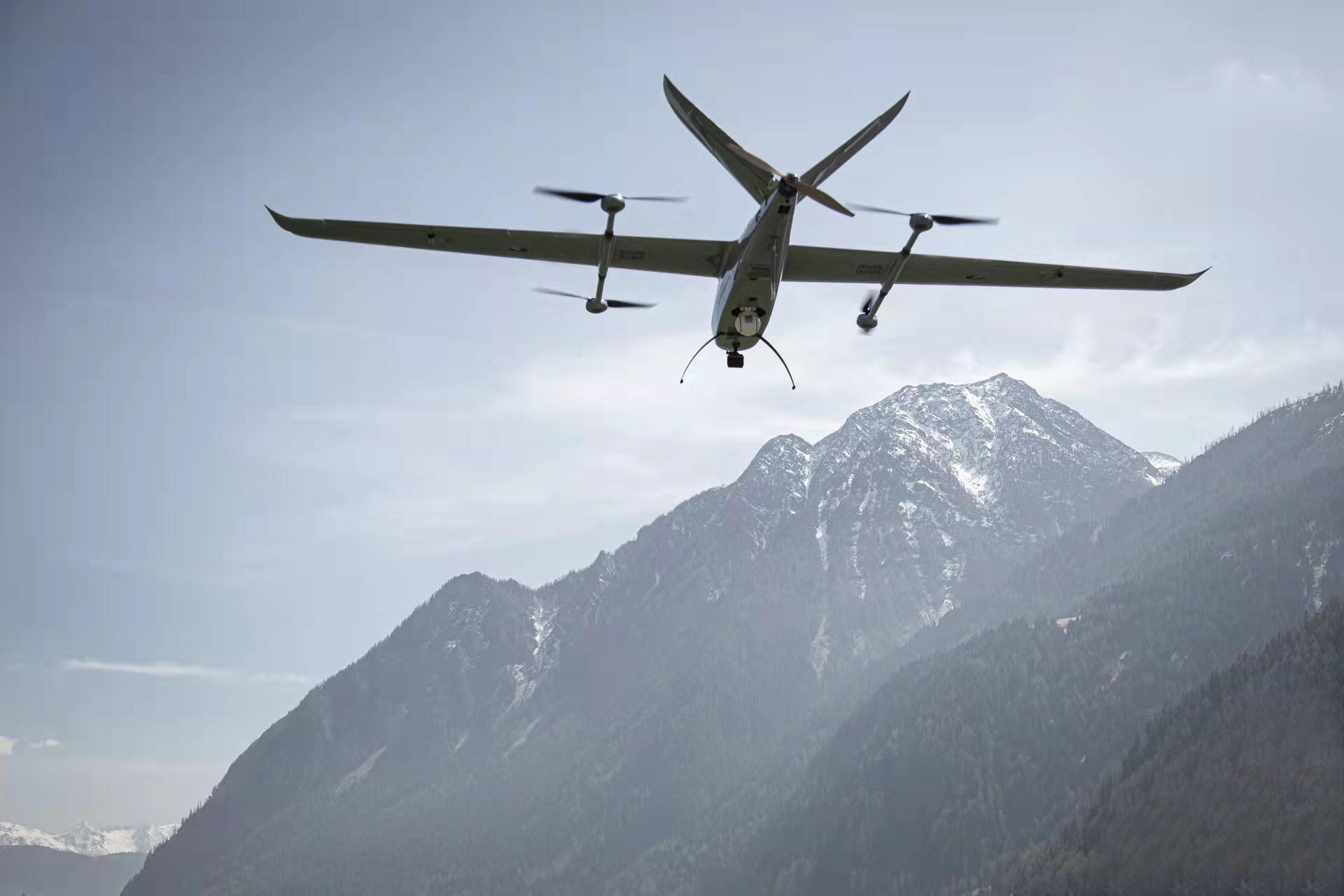
Patrol & Surveillance - Cruise Surveillance
We have built deep partnerships with enterprises and government agencies of all kinds. Our drones cover multiple operational scenarios including coastline patrol, natural disaster monitoring, distant offshore target tracking and round-the-clock border patrol, and carry in-house high-definition pods and dedicated anti-jamming technology to stream on-site data back in real time, efficiently completing a full picture of the situation across the whole area and providing the operator with reliable forward reconnaissance support for mission deployment and decision-making.
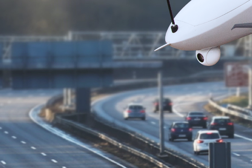
Public Safety - Public Safety
We have established cooperation with governments in many places, carrying out operations such as urban traffic monitoring and command and the monitoring of densely populated areas. Paired with a dedicated AI management platform, flight schedules are coordinated intelligently, and the road conditions, crowd flow and other data streamed back in real time are integrated and visualised. The platform supports framing and tagging of key targets, helping to implement traffic dispatch and safety control measures quickly, and effectively improves the efficiency and timeliness of safety assurance in public scenarios.
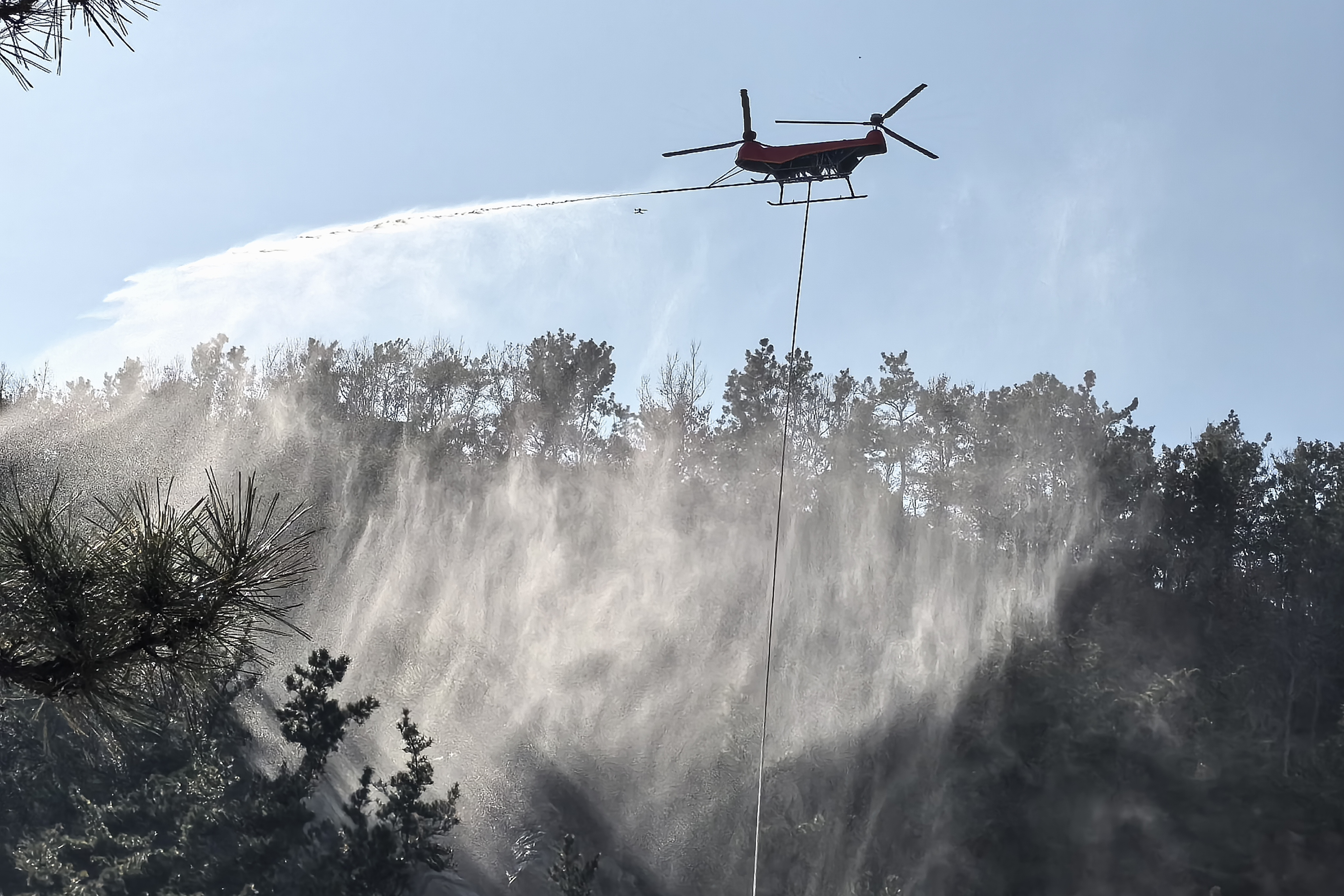
Emergency Rescue - Emergency Rescue
We work closely with emergency management departments and professional rescue organizations. Our drones adapt to a wide range of emergency scenarios, including maritime search and rescue, land-based forest fire prevention, earthquake disasters, searching for people missing in mountainous areas and transferring those in distress at height, and are fitted with infrared detection pods, professional rescue lifting systems, strong wind-resistance and stable flight control designs and firefighting spray systems. They can quickly locate people trapped in complex environments and move them safely to safe areas, while also suppressing fires through water spraying, and stream on-site video back in real time to support decision-making, helping operators improve rescue and response efficiency and reduce operational risk.
3D Surveying & Mapping - 3D Mapping
In core scenarios such as surveying complex landforms, precise geographic information collection and full-area resource mapping (for example, the surveying of islands, reefs and ports), Efly drones carry high-definition pods, professional stabilisation designs and high-precision sensing equipment, supporting surveying operators with stable and precise performance for efficient data collection. With solid professional strength, they help operators acquire high-precision geographic data and establish an aerial platform for precise geographic information collection.
Heavy Cargo Airlift - Heavy Lift
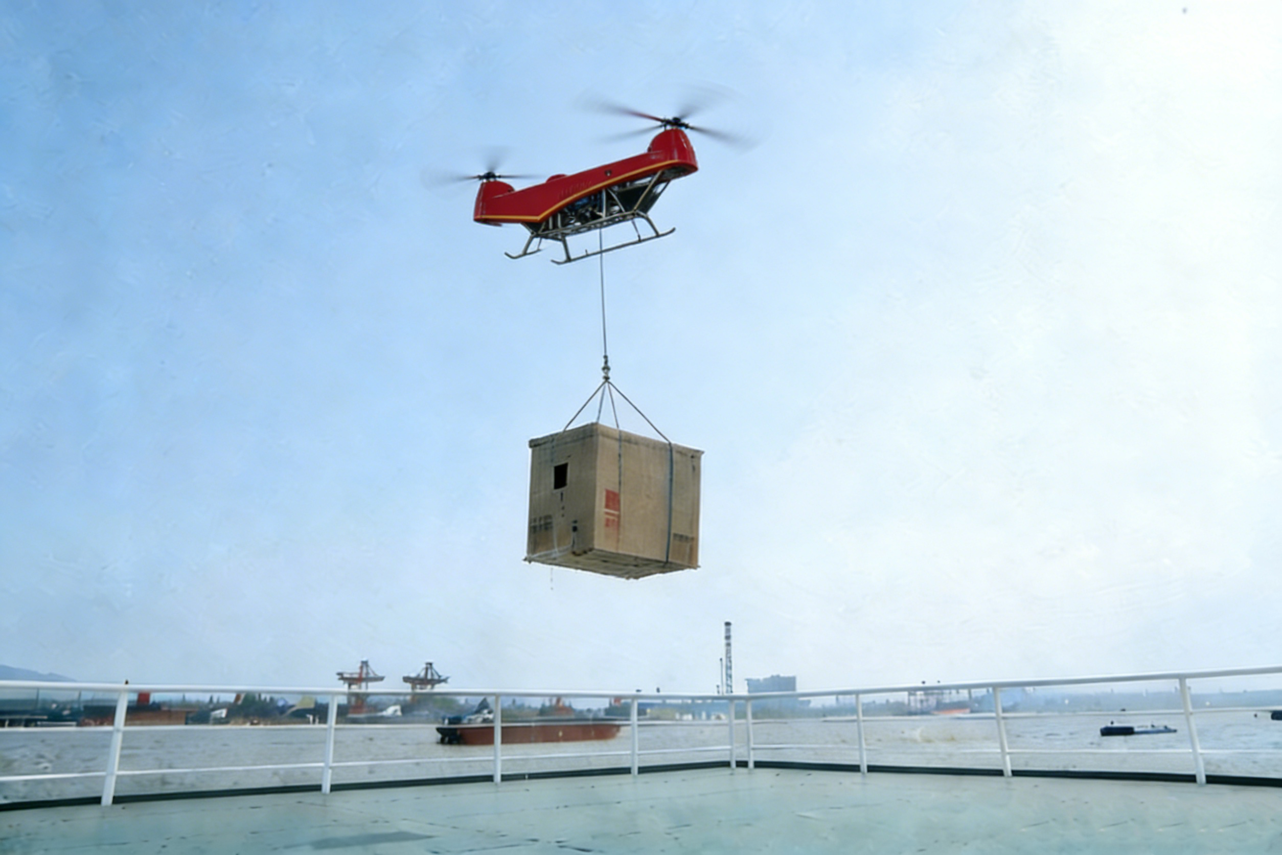
In core scenarios such as engineering material transfer and heavy-duty outdoor operations, Efly equips professional UAVs with the corresponding load capacity, supported by high-precision positioning and stable flight control performance, enabling the stable, accurate heavy cargo airlift and pinpoint airdrop of heavy materials. Reliable lifting capacity supports the efficient progress of engineering operations, helping improve the placement accuracy and operational efficiency of heavy-duty outdoor work.
WeChat Official Account
